Geoglyph · United Kingdom
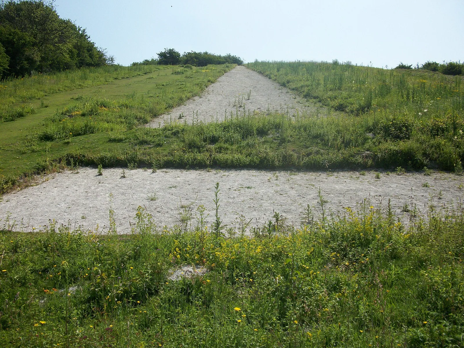
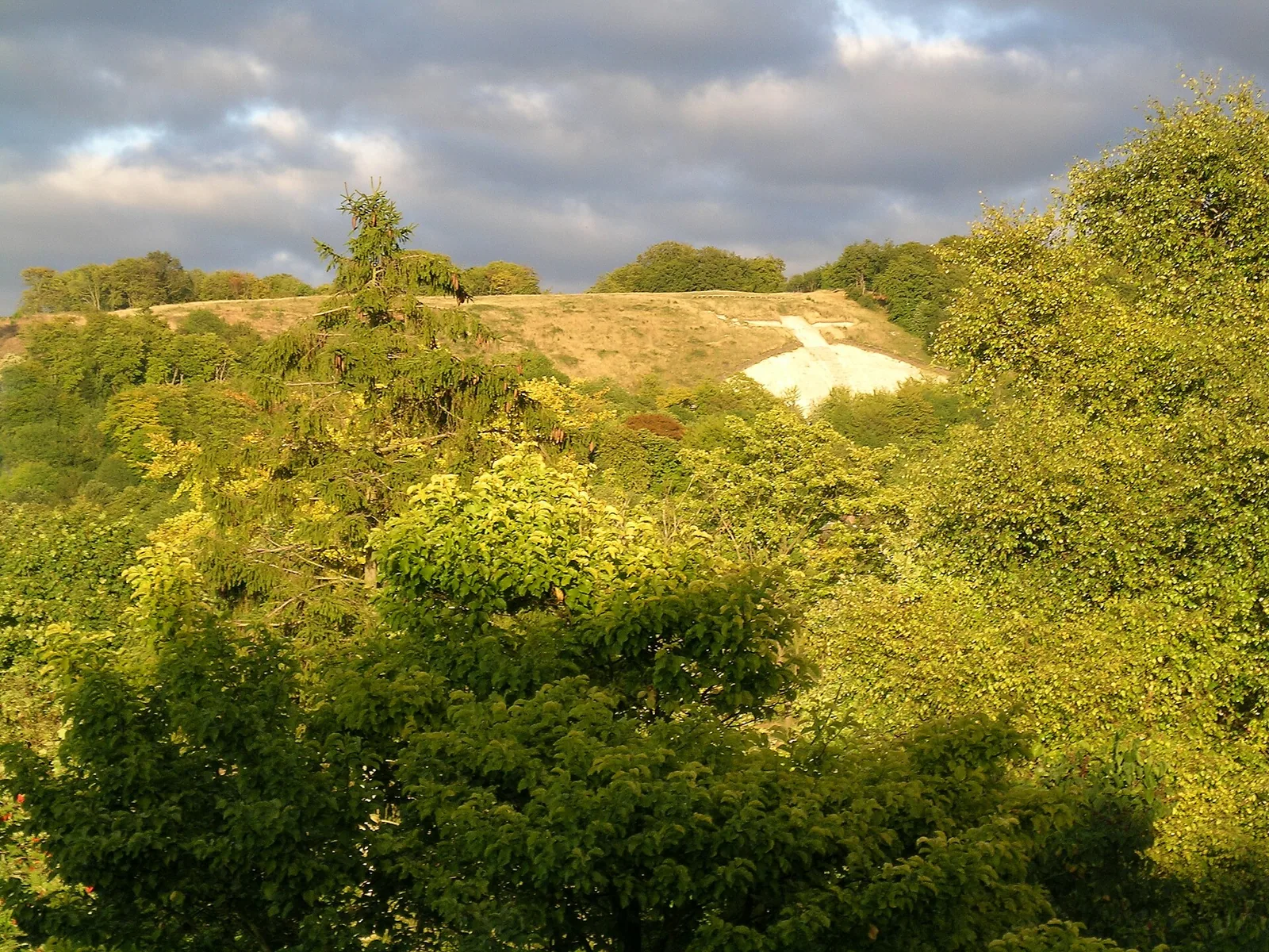
Watlington White Mark
hill figure in Oxfordshire, England
Facts
- Type
- Geoglyph
- Country
- United Kingdom
- Region
- Watlington
- Coordinates
- 51.6390, -0.9897
The nearest large international airport is London Heathrow Airport (LHR), about 41 km away in a straight line.
Nearest airport
Straight-line distances are approximate; the road trip is longer.
London Heathrow Airport LHRLondon · 41 km
Book a transferGetTransfer is an external service with its own terms and prices.
See also
- Bledlow CrossGeoglyph · United Kingdom · 10 km
- Whiteleaf CrossGeoglyph · United Kingdom · 16 km
- Entrance Archway To The Harefield Australian Military CemeteryArch · United Kingdom · 35 km
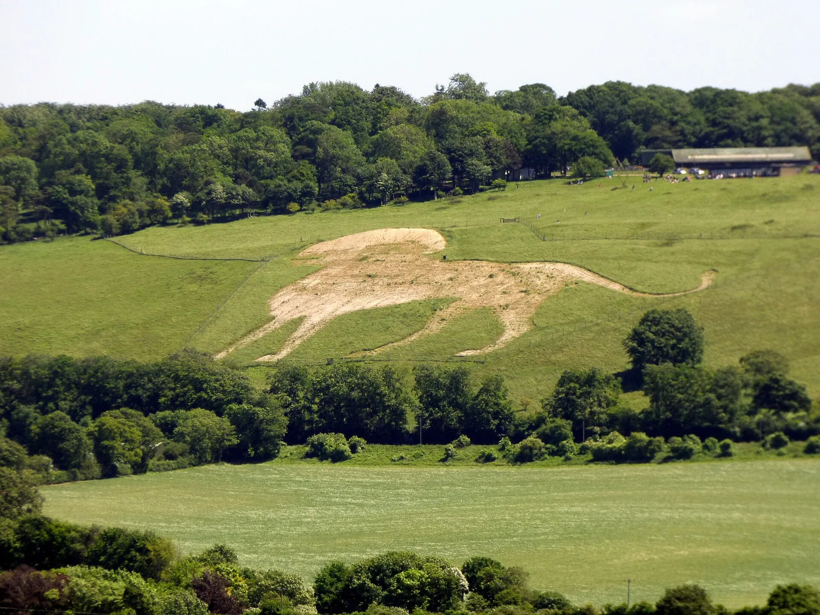
- Whipsnade White LionGeoglyph · United Kingdom · 38 km
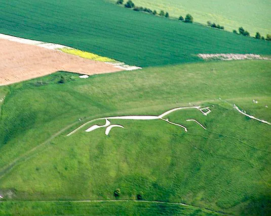
- Uffington White HorseGeoglyph · United Kingdom · 40 km
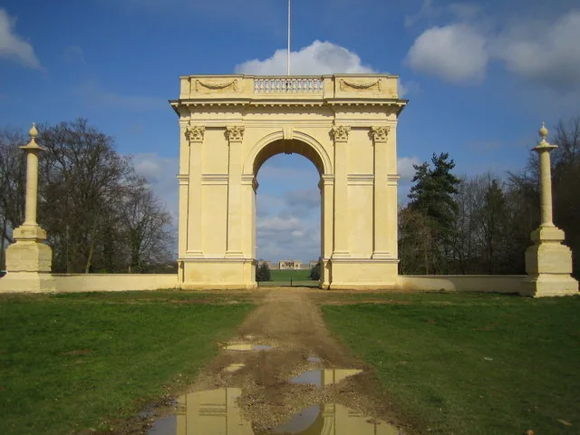
- The Corinthian ArchArch · United Kingdom · 18th century · 42 km

Categories:
Page tools
Cite this page
“Watlington White Mark”. Other History. Updated November 6, 2026. https://otherhistory.com/en/objects/watlington-white-mark (accessed …).
BibTeX
@misc{otherhistory-watlington-white-mark,
  title = {Watlington White Mark},
  author = {{Other History}},
  year = {2026},
  url = {https://otherhistory.com/en/objects/watlington-white-mark},
  urldate = {…},
  note = {Accessed …}
}Link to this page
Page information
- Wikidata item
- Q134777821
- Data updated
Facts: Wikidata (CC0)
Photo: CC BY-SA 2.0, Wikimedia Commons
The facts on this page come from open sources and may be incomplete or outdated. Read the disclaimer