Geoglyph · United Kingdom
Osmington White Horse
Geoglyph in Osmington, United Kingdom.
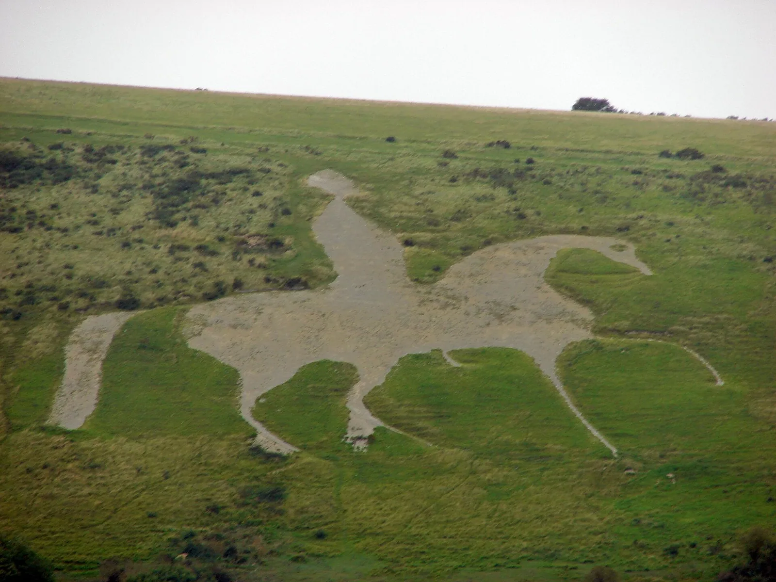
Facts
- Type
- Geoglyph
- Country
- United Kingdom
- Region
- Osmington
- Coordinates
- 50.6574, -2.4044
The nearest large international airport is Bristol Airport (BRS), about 84 km away in a straight line.
Nearest airport
Straight-line distances are approximate; the road trip is longer.
Bristol Airport BRSBristol · 84 km
Book a transferGetTransfer is an external service with its own terms and prices.
See also
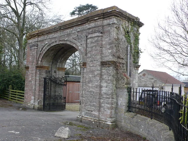
- Arch Between Nos 40 And 41Arch · United Kingdom · 7 km
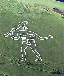
- Cerne Abbas GiantGeoglyph · United Kingdom · 18 km
- Arch Immediately South West Of Barwick HouseArch · United Kingdom · 34 km
- Nineveh Court, attached carriage arch and screen wall, Canford SchoolArch · United Kingdom · 35 km
- Triumphal arch gateway to Hazelgrove HouseArch · United Kingdom · 43 km
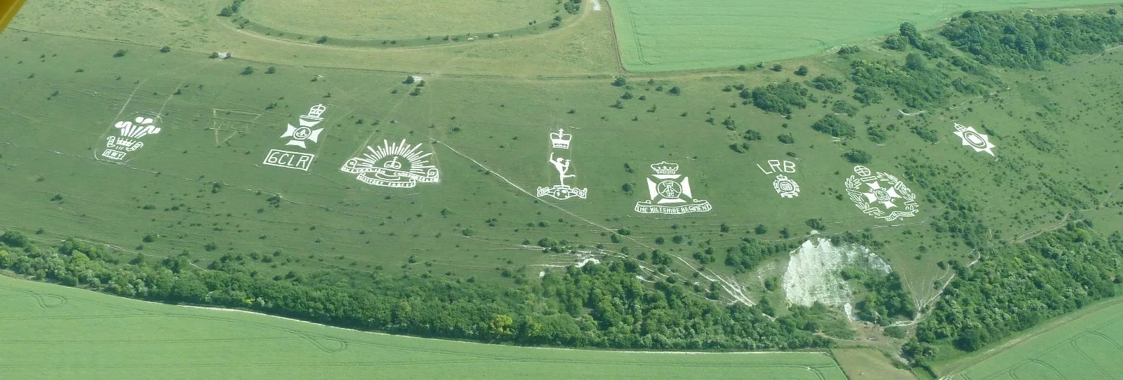
- Fovant BadgesGeoglyph · United Kingdom · 53 km
Categories:
Page tools
Cite this page
“Osmington White Horse”. Other History. Updated November 6, 2026. https://otherhistory.com/en/objects/osmington-white-horse (accessed …).
BibTeX
@misc{otherhistory-osmington-white-horse,
  title = {Osmington White Horse},
  author = {{Other History}},
  year = {2026},
  url = {https://otherhistory.com/en/objects/osmington-white-horse},
  urldate = {…},
  note = {Accessed …}
}Link to this page
Page information
- Wikidata item
- Q7107164
- Data updated
Facts: Wikidata (CC0)
Photo: CC BY-SA 3.0, Wikimedia Commons
The facts on this page come from open sources and may be incomplete or outdated. Read the disclaimer