Anıtsal kemer · Birleşik Krallık
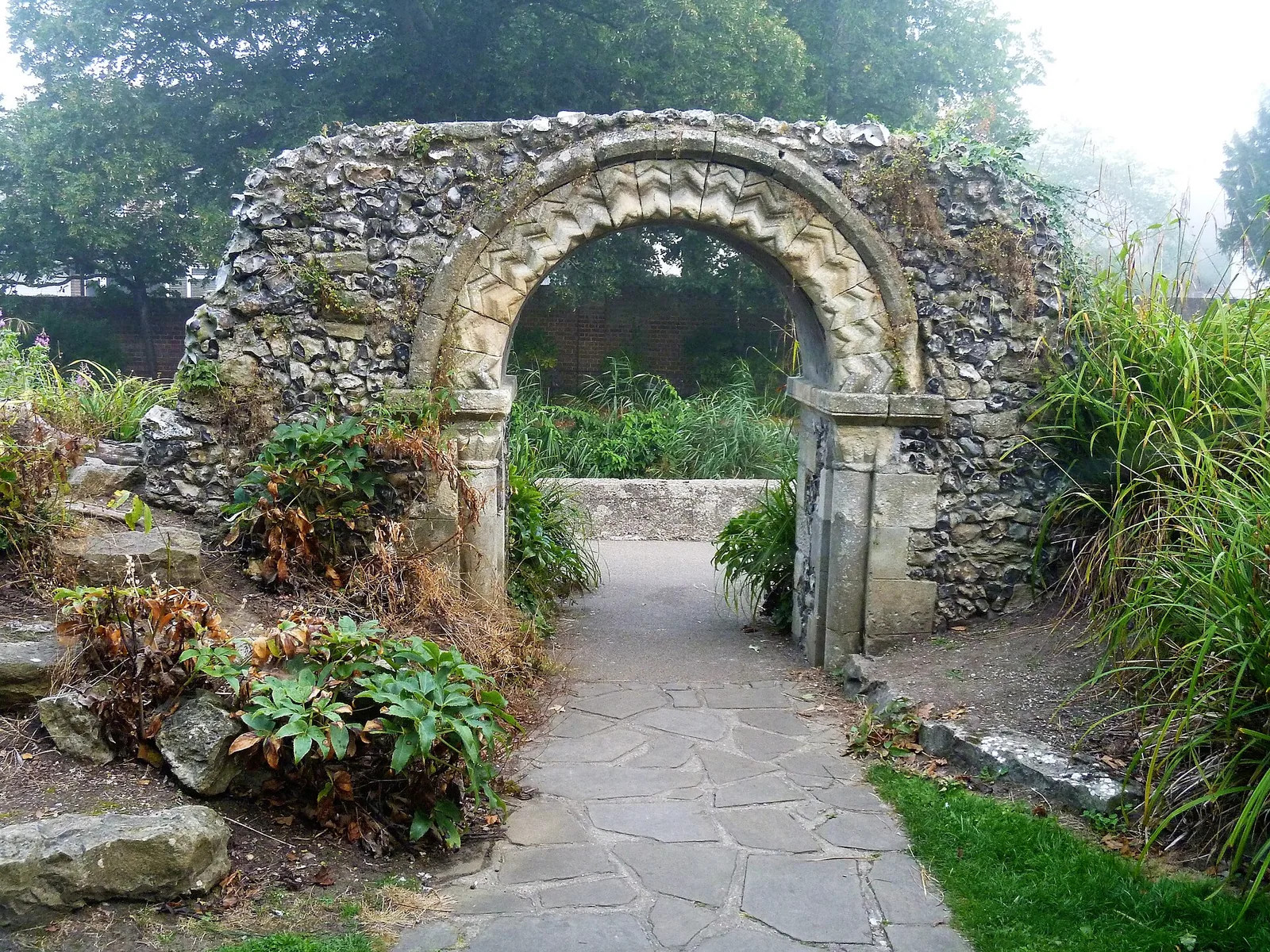
Arch In Grounds Of Tower House To The North West Of The House
Anıtsal kemer, Canterbury, Birleşik Krallık.
Bilgiler
- Tür
- Anıtsal kemer
- Ülke
- Birleşik Krallık
- Bölge
- Canterbury
- Koruma statüsü
- II. sınıf listelenmiş bina
- Koordinatlar
- 51,2809, 1,0743
En yakın büyük uluslararası havalimanı London Stansted Airport (STN); kuş uçuşu yaklaşık 89 km uzaklıkta.
En yakın havalimanı
Kuş uçuşu mesafeler yaklaşıktır; karayolu daha uzundur.
GetTransfer, kendi koşulları ve fiyatları olan harici bir hizmettir.
Ayrıca bakınız
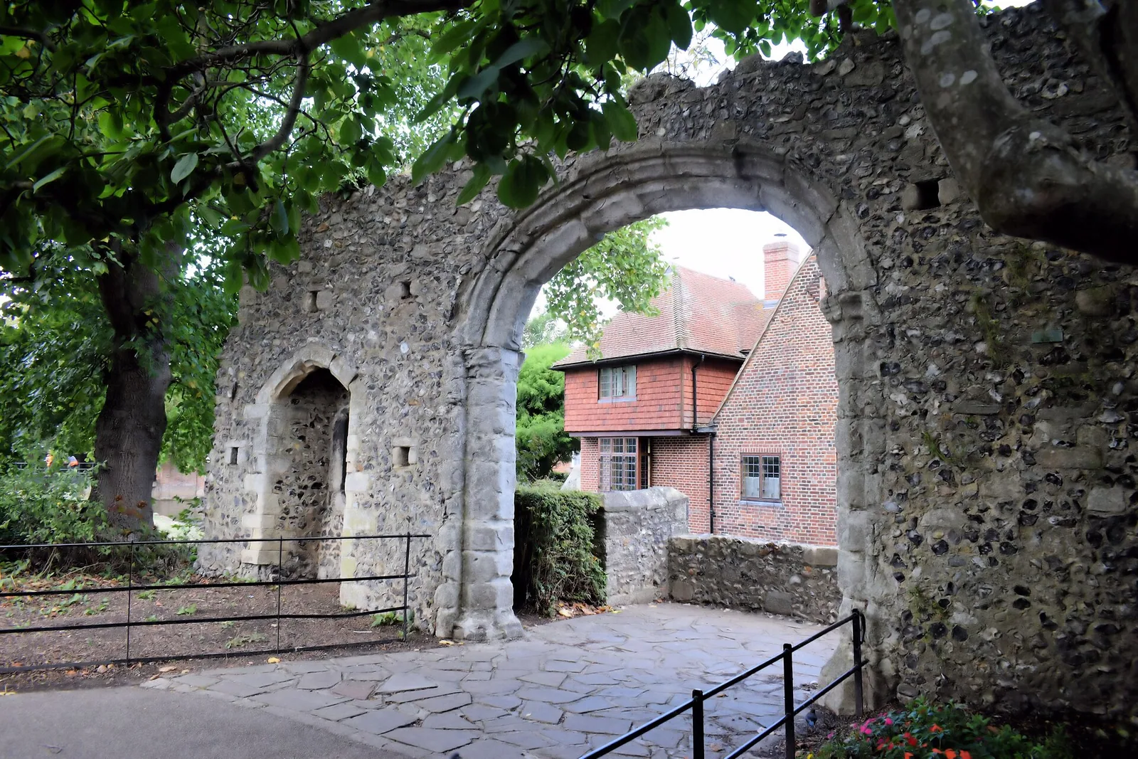
- Arch In Grounds Of Tower House To North East Of The HouseAnıtsal kemer · Birleşik Krallık · 0 km
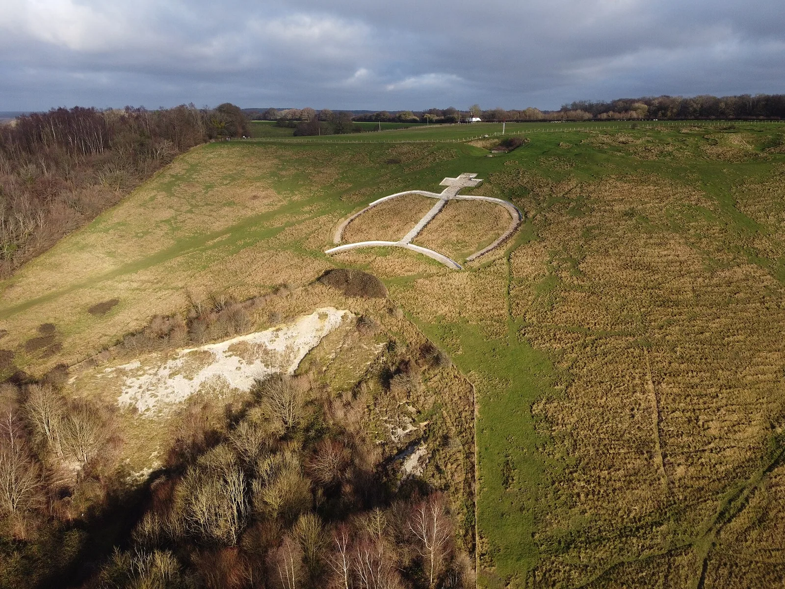
- Wye CrownGeoglif · Birleşik Krallık · 14 km
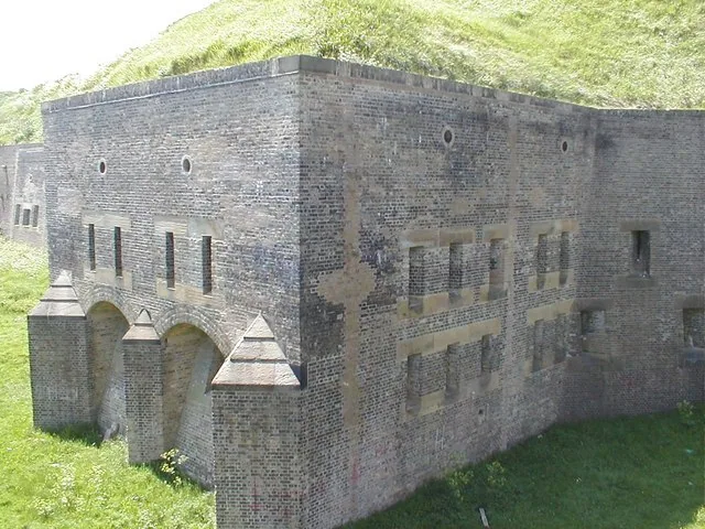
- Dover Western HeightsKale · Birleşik Krallık · 18. yüzyıl · 24 km
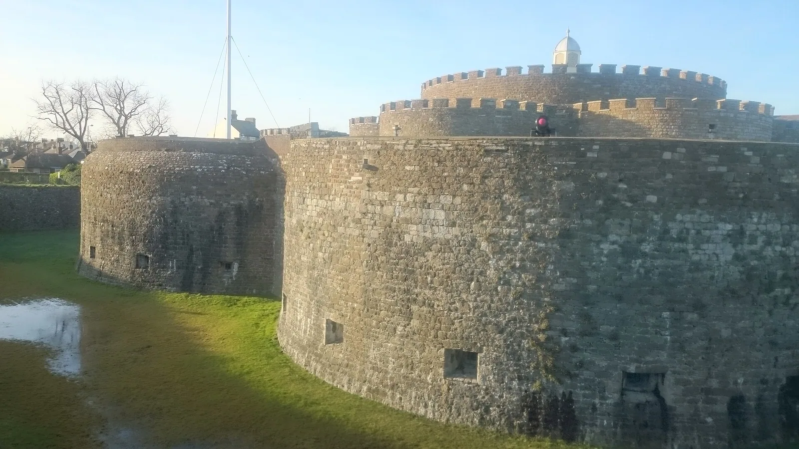
- Deal KalesiKale · Birleşik Krallık · 16. yüzyıl · 24 km
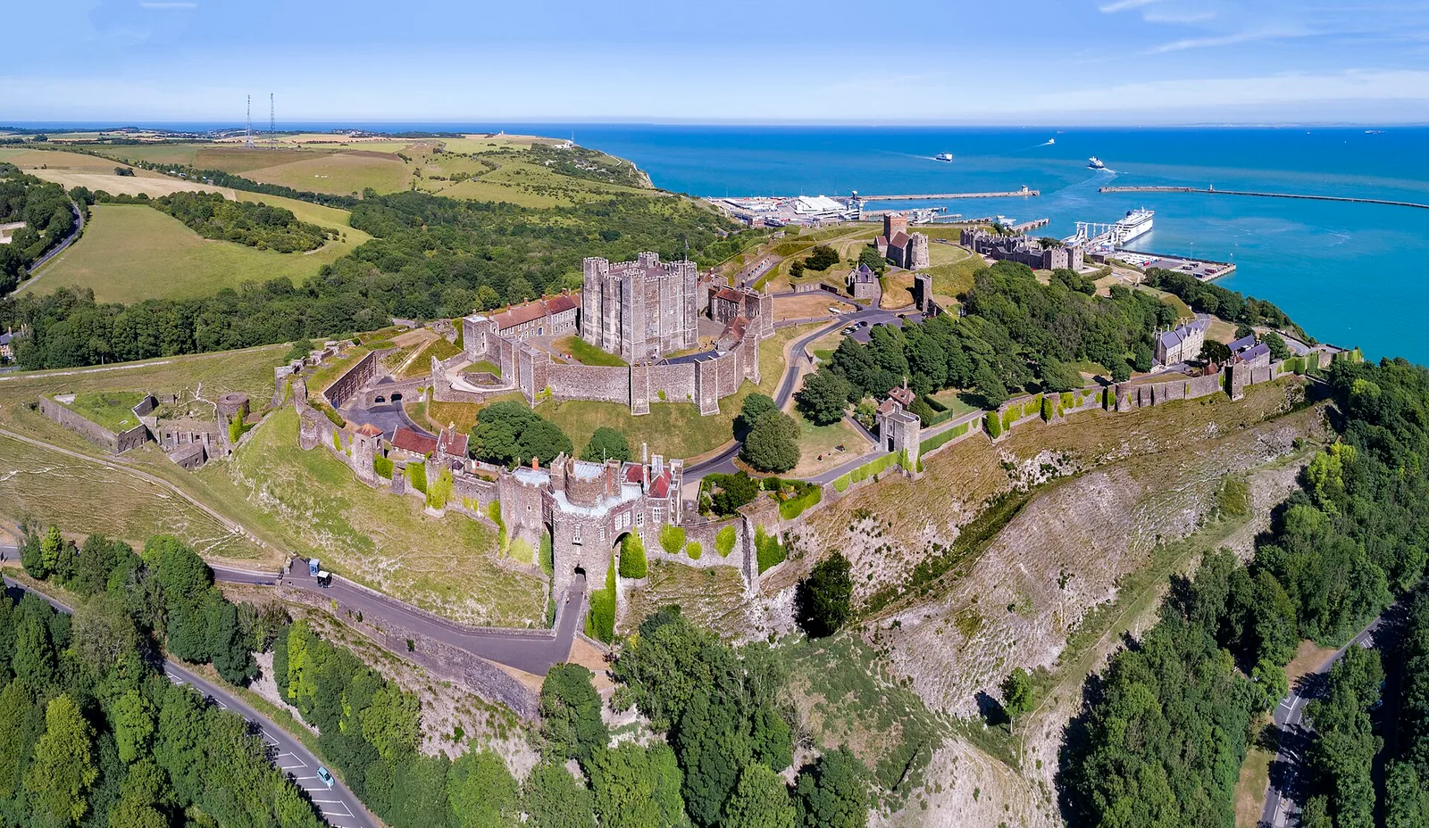
- Dover KalesiŞato · Birleşik Krallık · 12. yüzyıl · 24 km
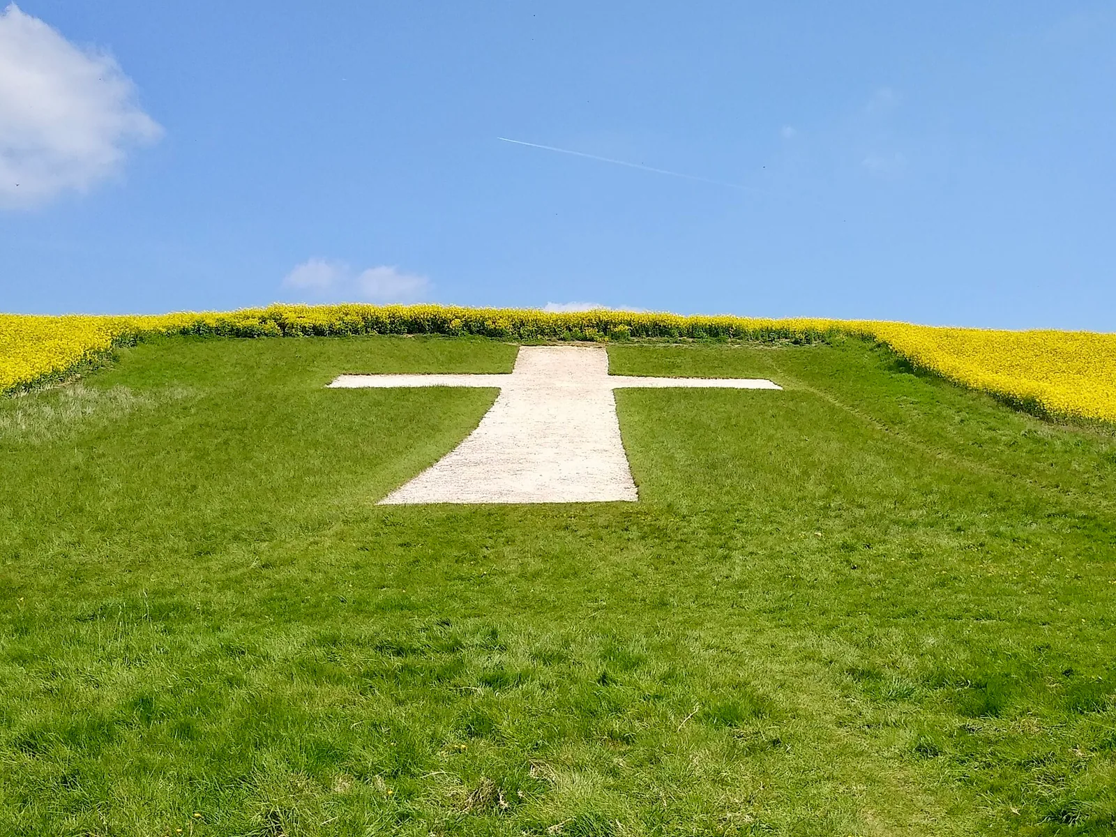
- Lenham CrossGeoglif · Birleşik Krallık · 20. yüzyıl · 24 km
Kategoriler:
Sayfa araçları
Bu sayfayı kaynak gösterin
“Arch In Grounds Of Tower House To The North West Of The House”. Other History. Güncelleme: 6 Kasım 2026. https://otherhistory.com/tr/objects/arch-in-grounds-of-tower-house-to-the-north-west-of-the-house (erişim tarihi: …).
BibTeX
@misc{otherhistory-arch-in-grounds-of-tower-house-to-the-north-west-of-the-house,
  title = {Arch In Grounds Of Tower House To The North West Of The House},
  author = {{Other History}},
  year = {2026},
  url = {https://otherhistory.com/tr/objects/arch-in-grounds-of-tower-house-to-the-north-west-of-the-house},
  urldate = {…},
  note = {Accessed …}
}Bu sayfanın bağlantısı
https://otherhistory.com/tr/objects/arch-in-grounds-of-tower-house-to-the-north-west-of-the-house
Sayfa bilgileri
- Wikidata ögesi
- Q26534637
- Veriler güncellendi
Bilgiler: Wikidata (CC0)
Fotoğraf: CC BY-SA 2.0, Wikimedia Commons
Bu sayfadaki bilgiler açık kaynaklardan alınmıştır ve eksik ya da güncel olmayabilir. Sorumluluk reddini oku