Geoglifo · Regno Unito
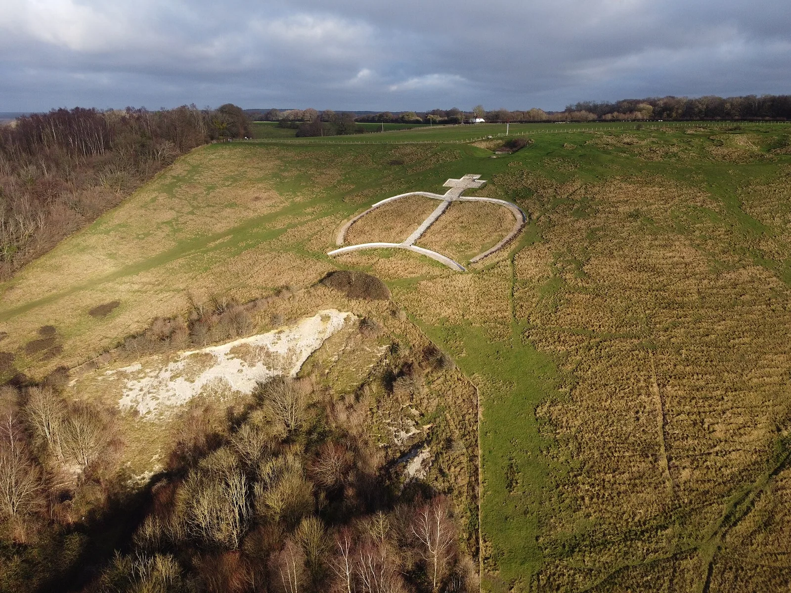
Wye Crown
Geoglifo, Wye with Hinxhill, Regno Unito.
Dati
- Tipo
- Geoglifo
- Paese
- Regno Unito
- Regione
- Wye with Hinxhill
- Coordinate
- 51,1812, 0,9623
Il grande aeroporto internazionale più vicino è London Gatwick Airport (LGW), a circa 80 km in linea d’aria.
Aeroporto più vicino
Le distanze in linea d’aria sono indicative; il percorso su strada è più lungo.
London Gatwick Airport LGWLondon · 80 km
Prenota un transferGetTransfer è un servizio esterno con condizioni e prezzi propri.
Vedi anche
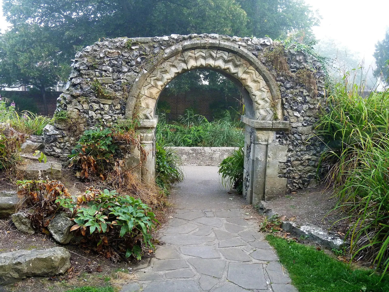
- Arch In Grounds Of Tower House To The North West Of The HouseArco · Regno Unito · 14 km
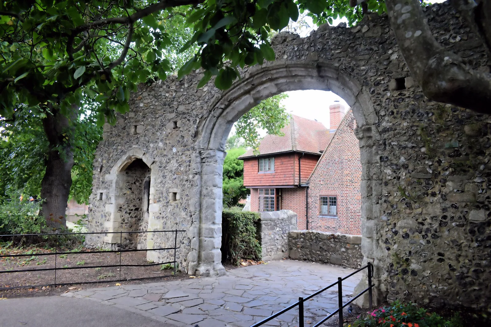
- Arch In Grounds Of Tower House To North East Of The HouseArco · Regno Unito · 14 km
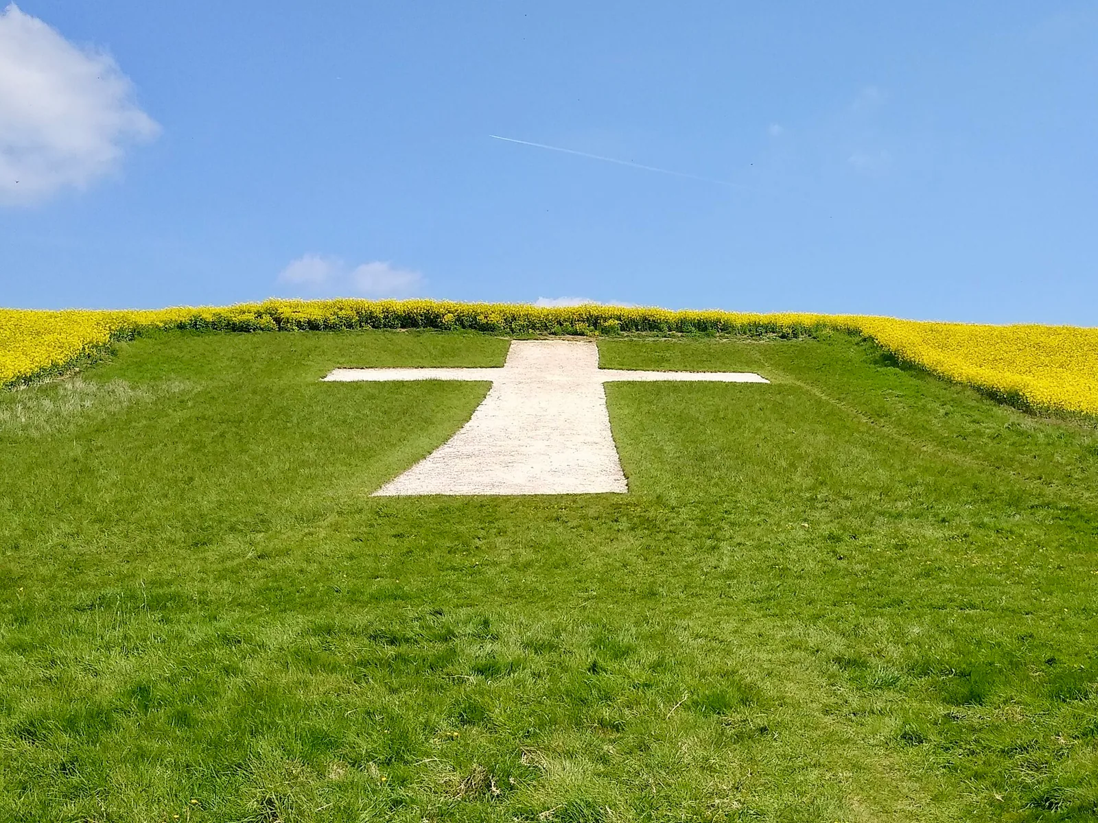
- Lenham CrossGeoglifo · Regno Unito · XX secolo · 18 km
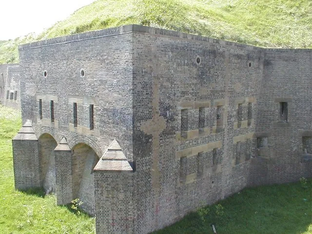
- Dover Western HeightsFortezza · Regno Unito · XVIII secolo · 25 km
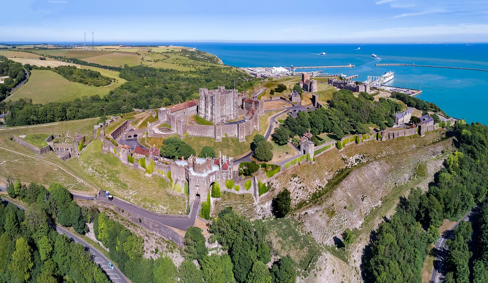
- Castello di DoverCastello · Regno Unito · XII secolo · 26 km
- Archway about 10 Metres South of West End of Boughton Monchelsea PlaceArco · Regno Unito · 30 km
Categorie:
Strumenti della pagina
Cita questa pagina
«Wye Crown». Other History. Aggiornato il 6 novembre 2026. https://otherhistory.com/it/objects/wye-crown (consultato il …).
BibTeX
@misc{otherhistory-wye-crown,
  title = {Wye Crown},
  author = {{Other History}},
  year = {2026},
  url = {https://otherhistory.com/it/objects/wye-crown},
  urldate = {…},
  note = {Accessed …}
}Link a questa pagina
Informazioni sulla pagina
- Elemento Wikidata
- Q138040573
- Dati aggiornati
Fatti: Wikidata (CC0)
Foto: CC BY 4.0, Wikimedia Commons
I dati di questa pagina provengono da fonti aperte e possono essere incompleti o non aggiornati. Leggi le avvertenze