Géoglyphe · Pérou
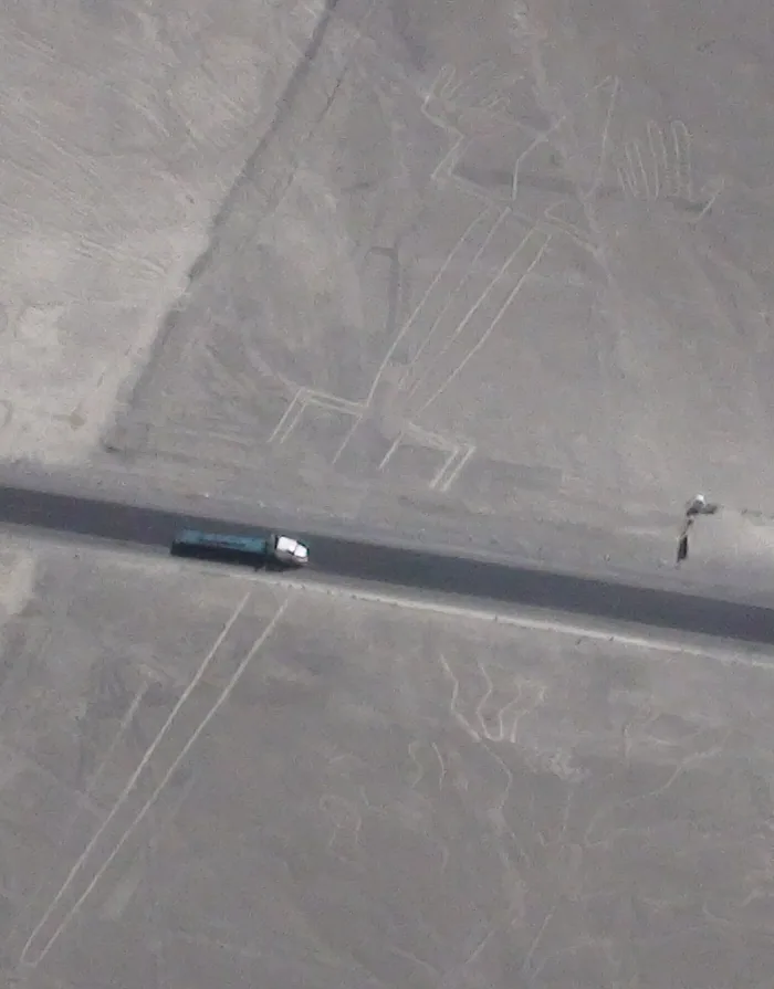
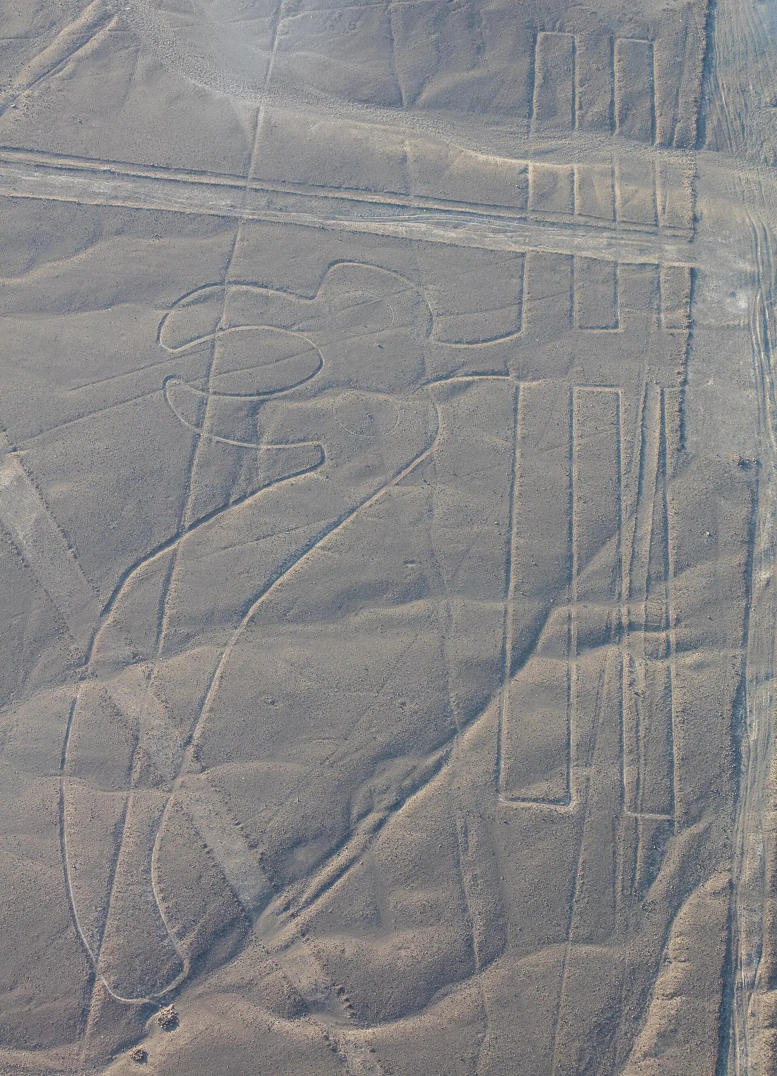
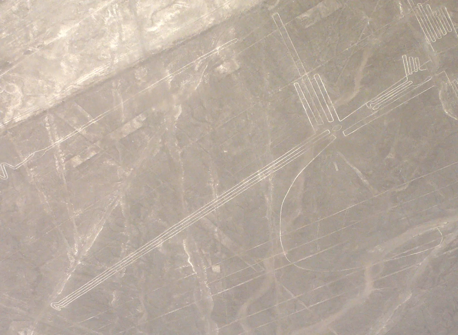
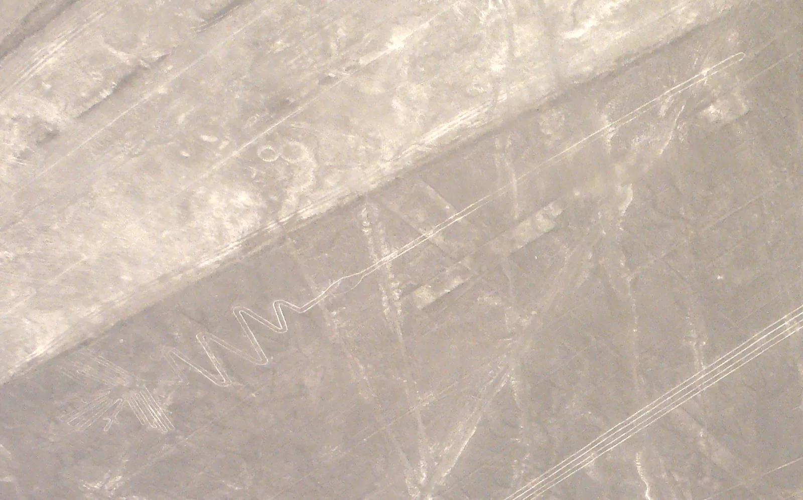
Géoglyphe Lézard de Nazca
Géoglyphe, Ica, Pérou.
Faits
- Type
- Géoglyphe
- Pays
- Pérou
- Région
- Ica
- Coordonnées
- -14,6931, -75,1142
Le grand aéroport international le plus proche est Alejandro Velasco Astete International Airport (CUZ), à environ 366 km à vol d’oiseau.
Aéroport le plus proche
Les distances à vol d’oiseau sont approximatives ; le trajet par la route est plus long.
Alejandro Velasco Astete International Airport CUZCusco · 366 km
Réserver un transfertGetTransfer est un service externe avec ses propres conditions et tarifs.
Voir aussi
Catégories:
Outils de la page
Citer cette page
« Géoglyphe Lézard de Nazca ». Other History. Mis à jour le 6 novembre 2026. https://otherhistory.com/fr/objects/nazca-lizard-geoglyph (consulté le …).
BibTeX
@misc{otherhistory-nazca-lizard-geoglyph,
  title = {Géoglyphe Lézard de Nazca},
  author = {{Other History}},
  year = {2026},
  url = {https://otherhistory.com/fr/objects/nazca-lizard-geoglyph},
  urldate = {…},
  note = {Accessed …}
}Lien vers cette page
Informations sur la page
- Élément Wikidata
- Q33544306
- Données mises à jour
Faits : Wikidata (CC0)
Photo : CC BY-SA 2.0, Wikimedia Commons
Les faits de cette page proviennent de sources ouvertes et peuvent être incomplets ou dépassés. Lire l’avertissement