Fortaleza abaluartada · Países Bajos
Fortification Walls of Veere
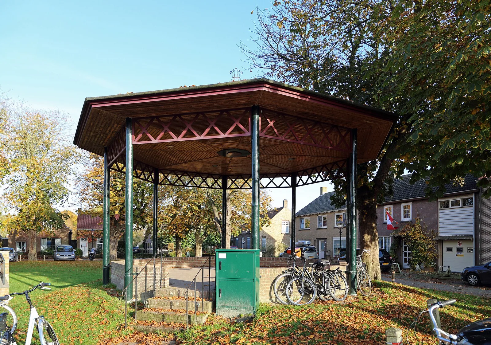
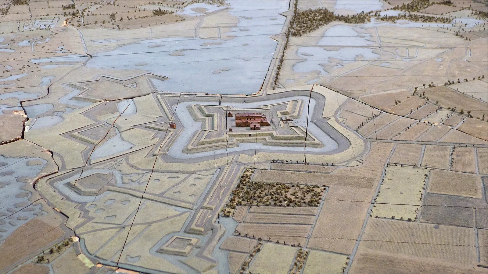
Fortaleza abaluartada en Veere, Países Bajos.
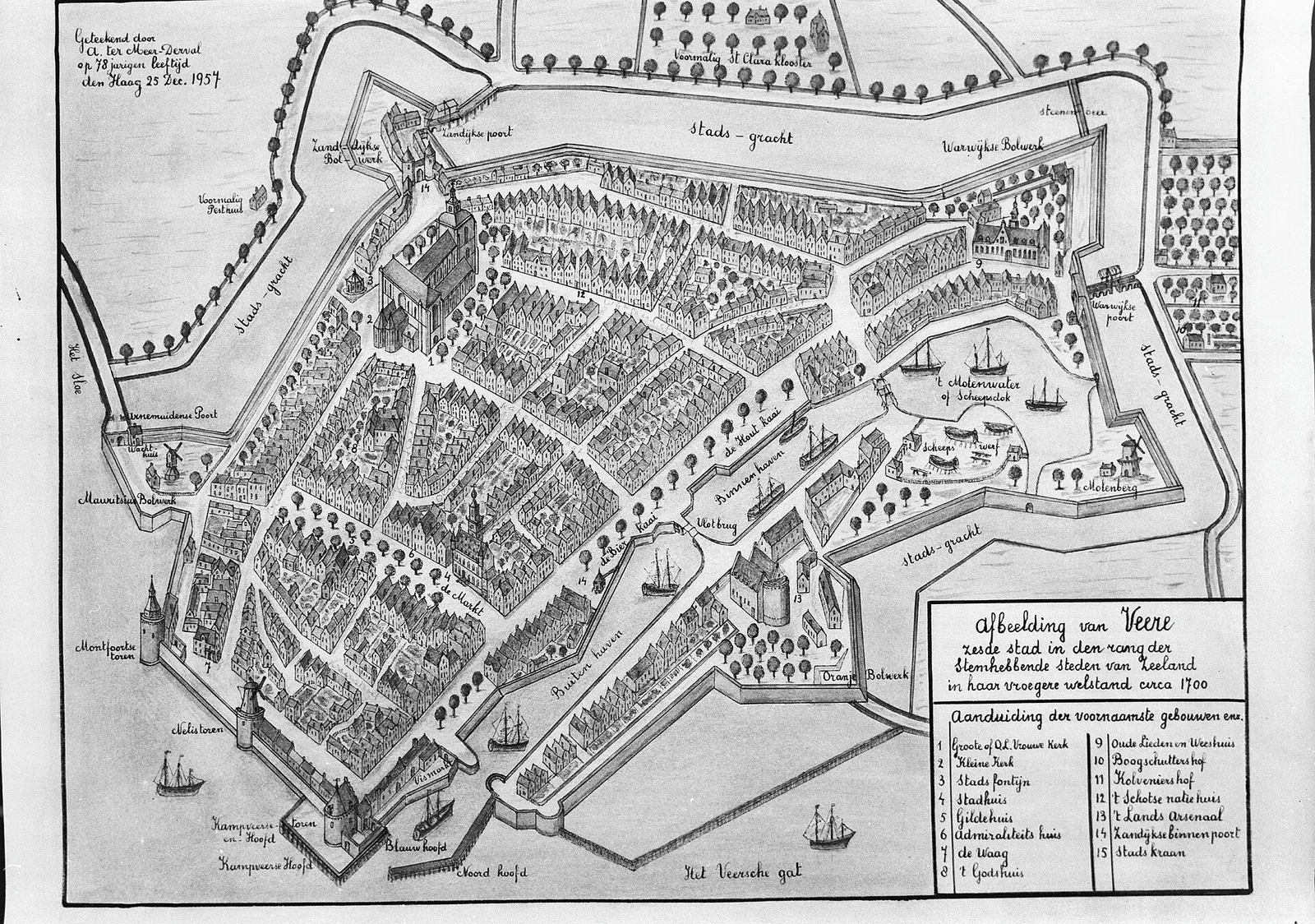
Datos
- Tipo
- Fortaleza abaluartada
- País
- Países Bajos
- Región
- Veere
- Coordenadas
- 51,5493, 3,6601
El gran aeropuerto internacional más cercano es Ostend-Bruges International Airport (OST), a unos 67 km en línea recta.
Aeropuerto más cercano
Las distancias en línea recta son aproximadas; el trayecto por carretera es más largo.
GetTransfer es un servicio externo con sus propias condiciones y precios.
Véase también
- MidelburgoFortaleza abaluartada · Países Bajos · Siglo XIII · 6 km
- Fort RammekensFortaleza abaluartada · Países Bajos · Siglo XVI · 11 km
- Fort Frederik HendrikFortaleza abaluartada · Países Bajos · 18 km
- OostburgFortaleza abaluartada · Países Bajos · 26 km
- RetranchementFortaleza abaluartada · Países Bajos · 29 km
- Fort De RoovereFortaleza abaluartada · Países Bajos · 44 km
Categorías:
Herramientas de la página
Citar esta página
«Fortification Walls of Veere». Other History. Actualizado el 3 de noviembre de 2026. https://otherhistory.com/es/objects/fortification-walls-of-veere (consultado el …).
BibTeX
@misc{otherhistory-fortification-walls-of-veere,
  title = {Fortification Walls of Veere},
  author = {{Other History}},
  year = {2026},
  url = {https://otherhistory.com/es/objects/fortification-walls-of-veere},
  urldate = {…},
  note = {Accessed …}
}Enlace a esta página
https://otherhistory.com/es/objects/fortification-walls-of-veere
Información de la página
- Elemento de Wikidata
- Q122459844
- Datos actualizados
Datos: Wikidata (CC0)
Foto: CC BY-SA 4.0, Wikimedia Commons
Los datos de esta página proceden de fuentes abiertas y pueden estar incompletos o desactualizados. Leer el aviso legal